 01
The Tidal Coast
01
The Tidal Coast
The Shore
Through
the Posts
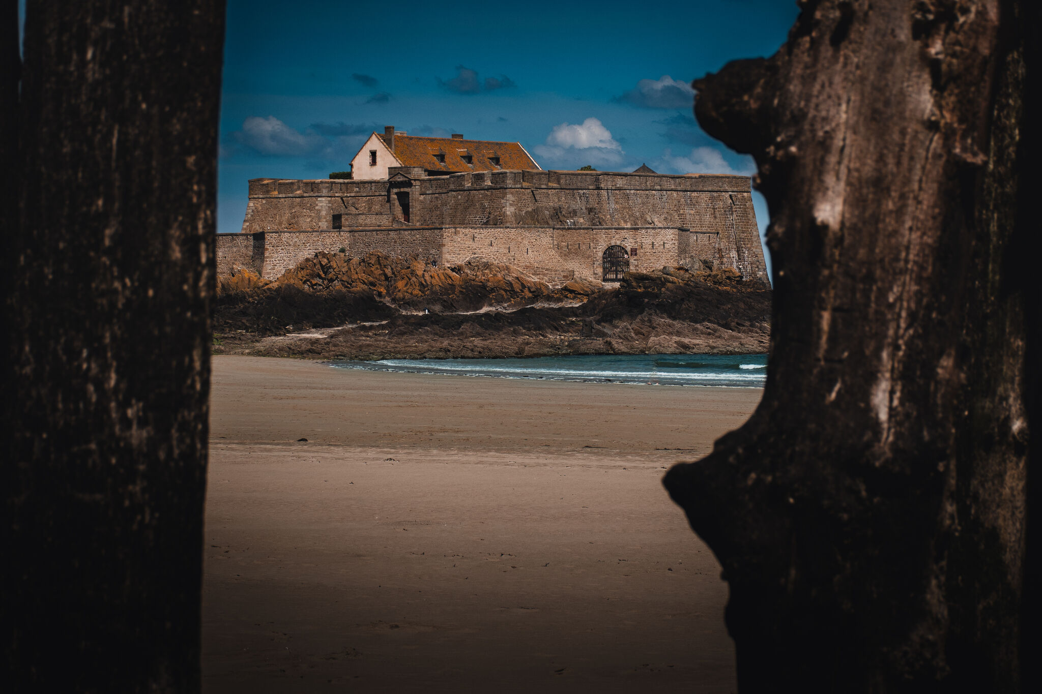
Fort National seen through weathered wood rising from the tidal sand. The beach sits just outside the city walls — step through any gate in the ramparts and this is where you end up at low tide, looking out at a granite fortress sitting alone on its island. The fortress was built to protect the city from the English and Dutch raiders.
 02
02
The Tide's Work
Sky in
the Rock
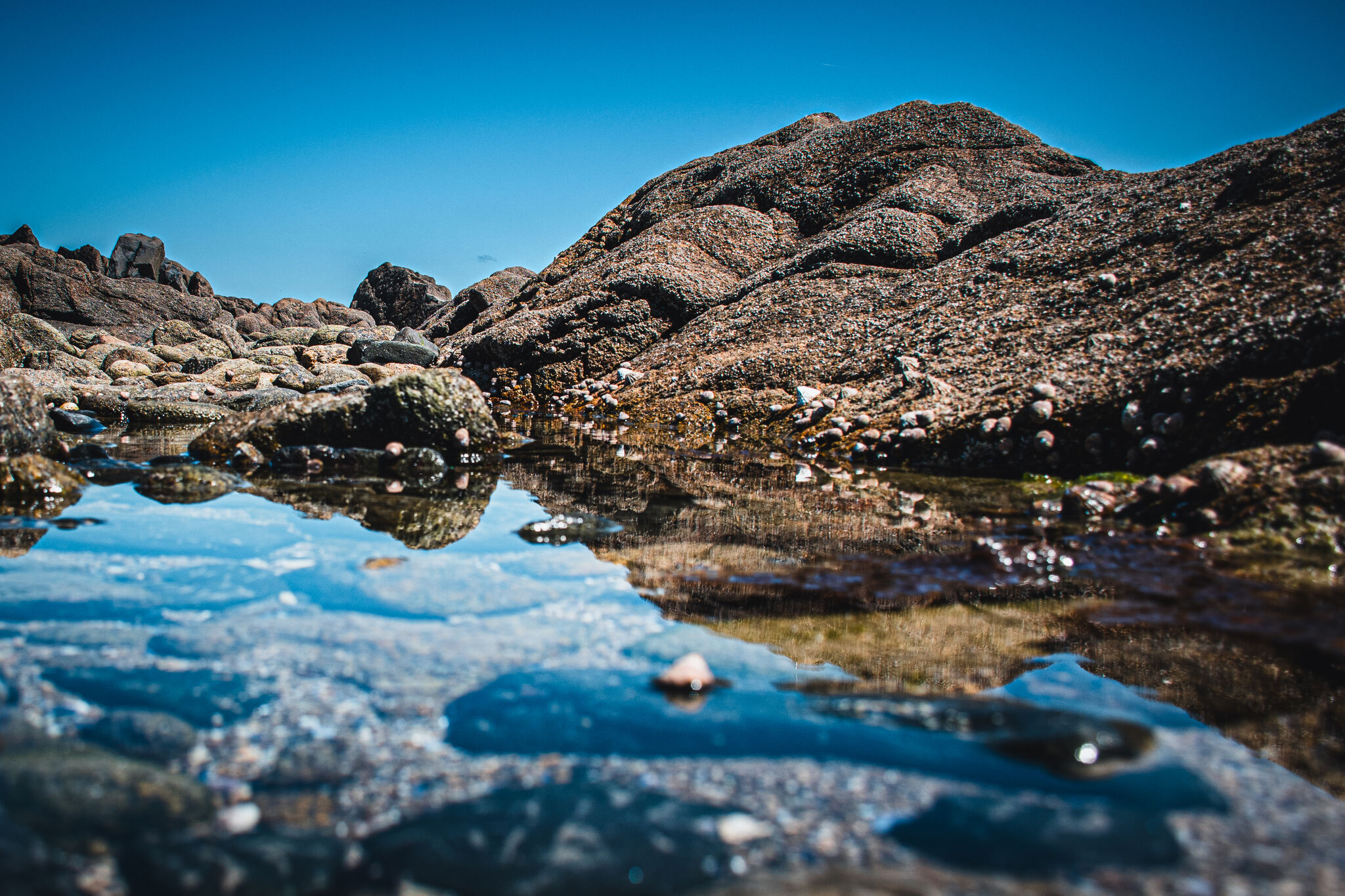
At low tide the sea leaves behind a second sky. The pool in the foreground mirrors light and clouds; the Atlantic rolls in behind it. With the extraordinary tidal shifts on the Brittany coast, Saint-Malo presents two completely different landscapes between low and high tide.
 03
03
City and Sea
The Spire
from the Shore
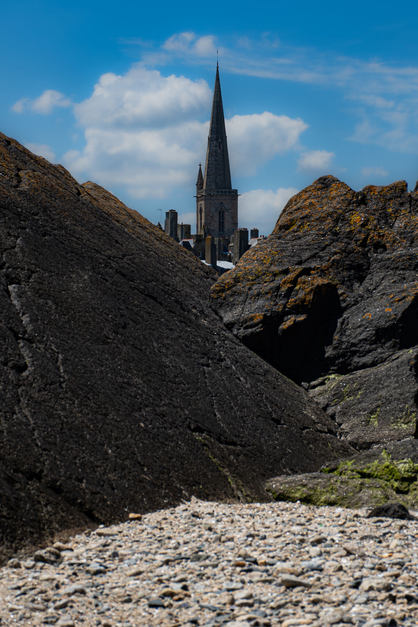
The cathedral spire rising above the ramparts, seen through a gap in the tidal rocks. The Cathédrale Saint-Vincent is visible from almost everywhere in Saint-Malo — including from well out on the tidal shelf at low tide.
 04
04
The Full Picture
City on
the Rocks
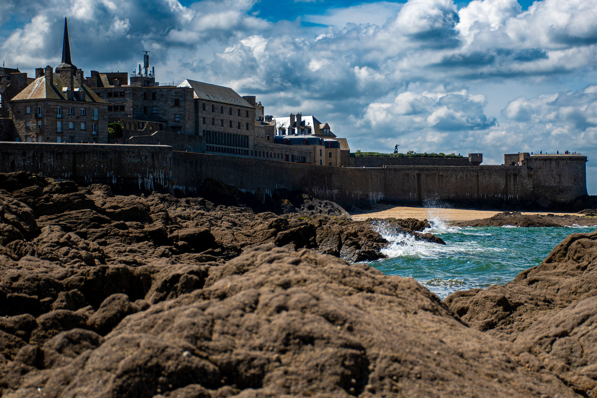
The walled city from the tidal flat between the fort and the city, looking back toward the ramparts — the Atlantic breaking against the base of the rocks, the walls and towers above. This is the view from the exposed tidal shelf with Fort National at your back.
 05
05
Fort National
Only
at Low Tide
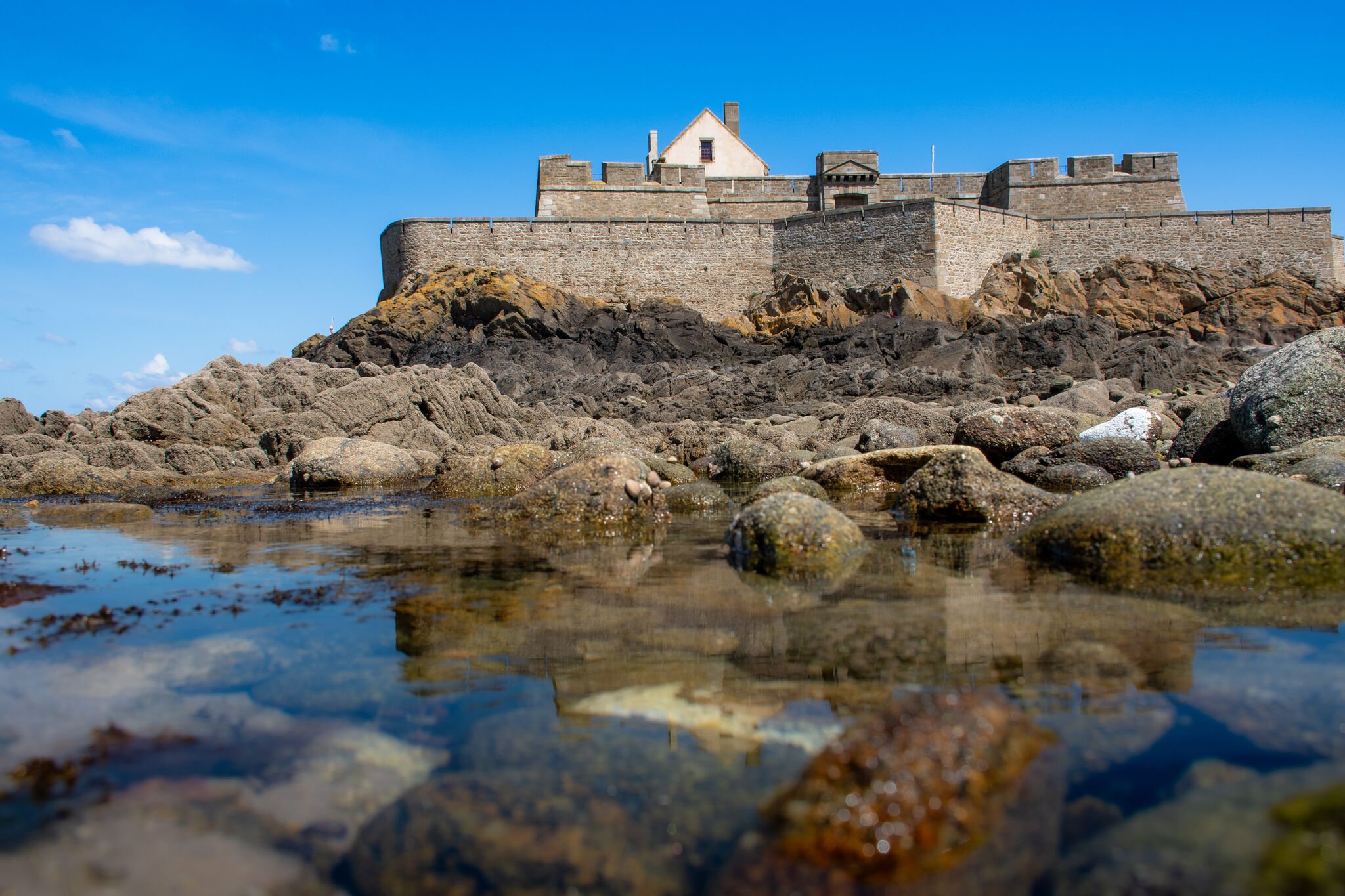
Fort National sits on its own granite island a few hundred yards off the ramparts. It was designed in 1689 by Vauban, Louis XIV's chief military engineer, during the same Sun King era that produced Versailles. You can walk to it only when the tide allows. The tidal pools in the foreground are the tide's receipt.
 06
The Walls
06
The Walls
Stone and Sea
What the Walls
Are For
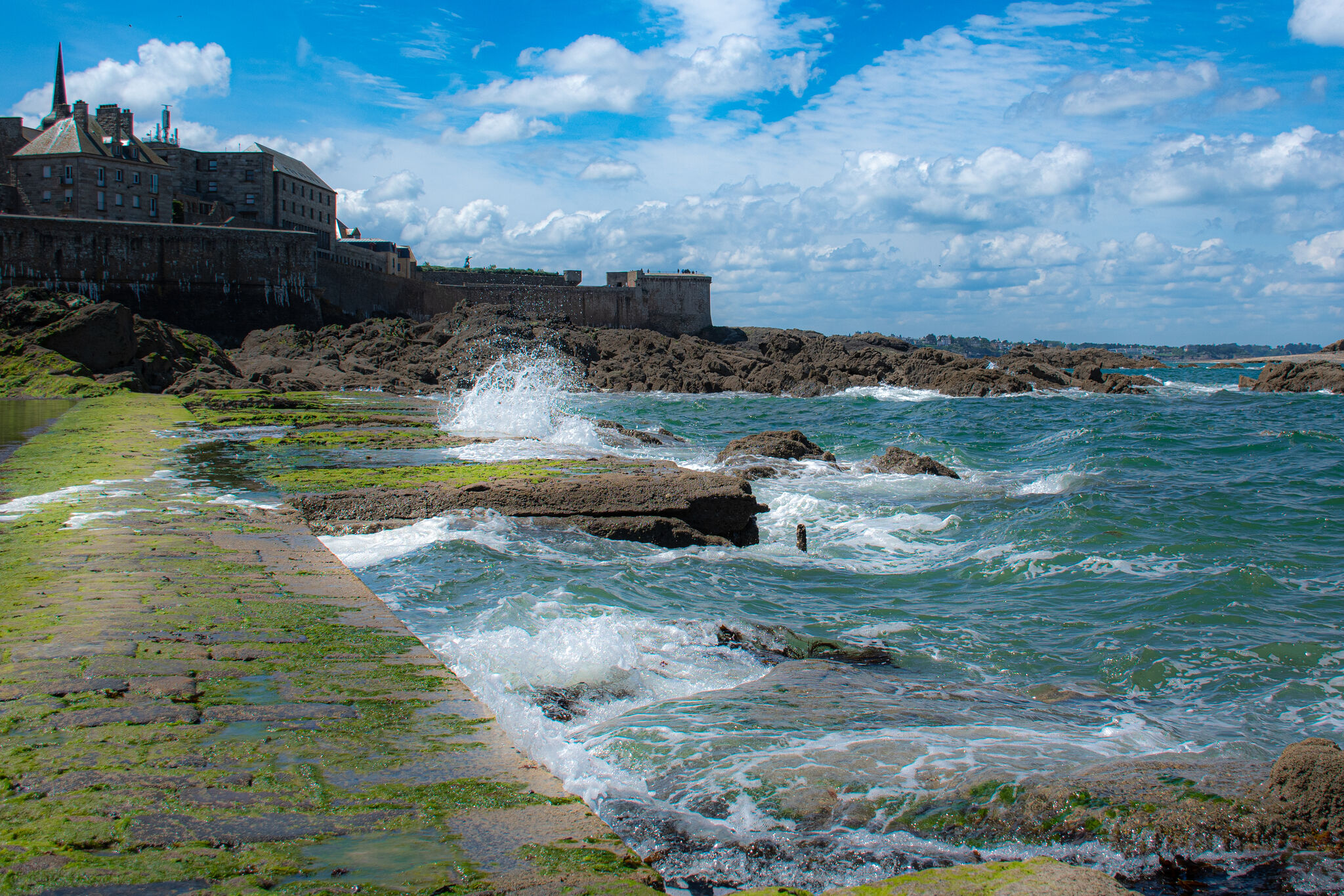
The Atlantic breaking against a low section of wall that's exposed only at low tide. This was shot from the tidal flat with Fort National behind me and the city ahead, with the low wall used as a leading line. The city ramparts are in the background. A high shutter speed captures the wave breaking against the wall.
 07
07
Life Here
Café du
Lion d'Or
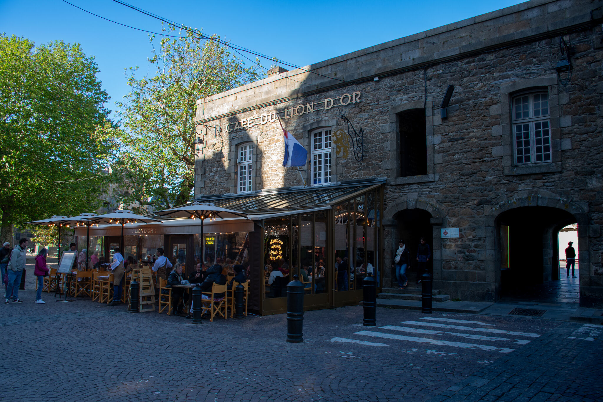
Saint-Malo is not a museum. People live inside these walls, fill the cafés, shop for groceries, and watch football in the bars. During the day, it can be crowded with tourists. The locals come out in the evening to their favorite spots. This is the only photograph in the sequence where I captured the people vs. the architecture in what I thought was a most authentic setting.
 08
Inside the Walls
08
Inside the Walls
The Lanes
Down
the Stairs
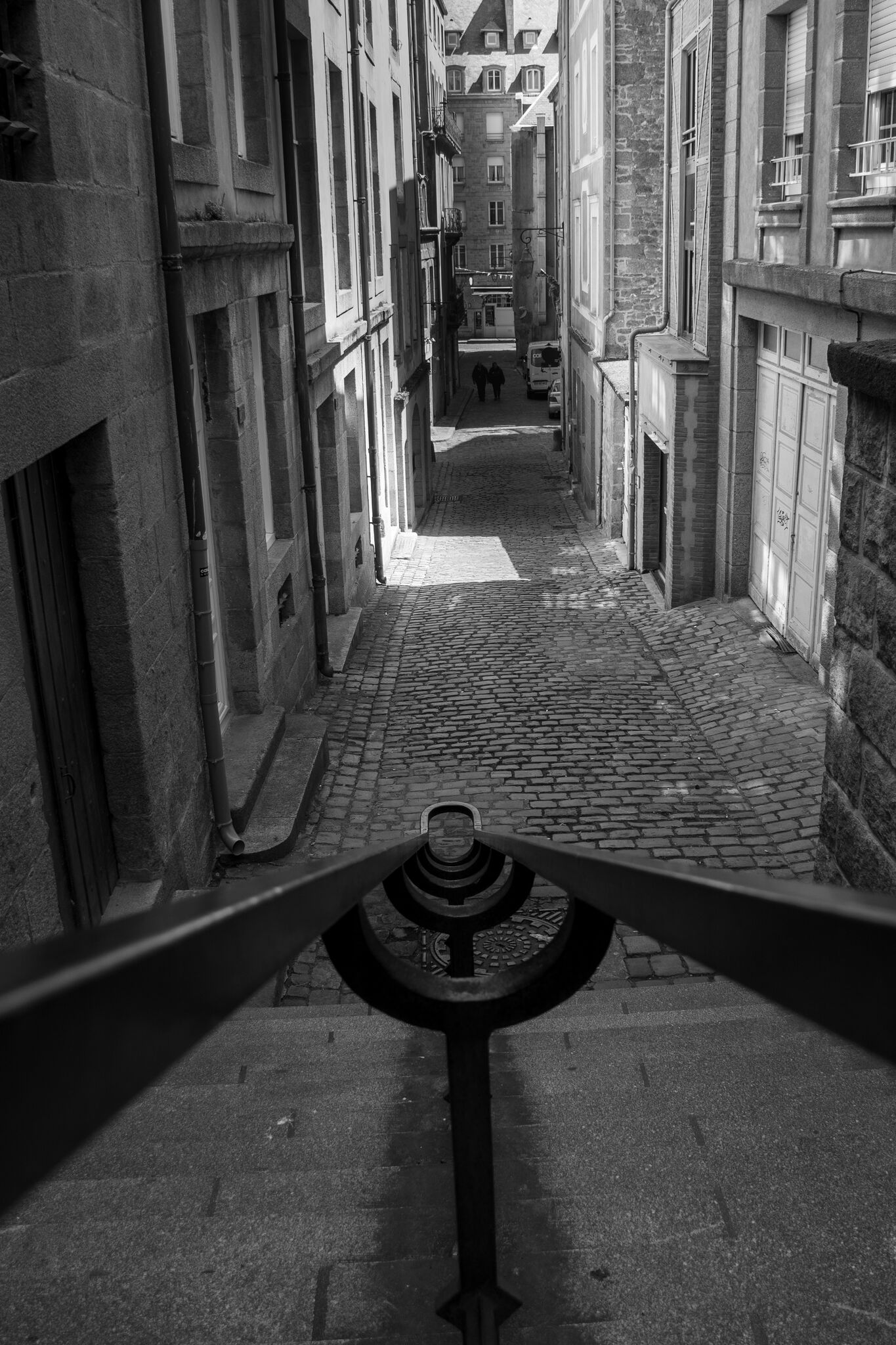
Looking down into one of the inner city's narrow lanes from a staircase above. Two figures in the distance give a sense of scale — the lane is barely wider than a cart. Shot in black and white to highlight the geometry and texture.
 09
09
The Other Side
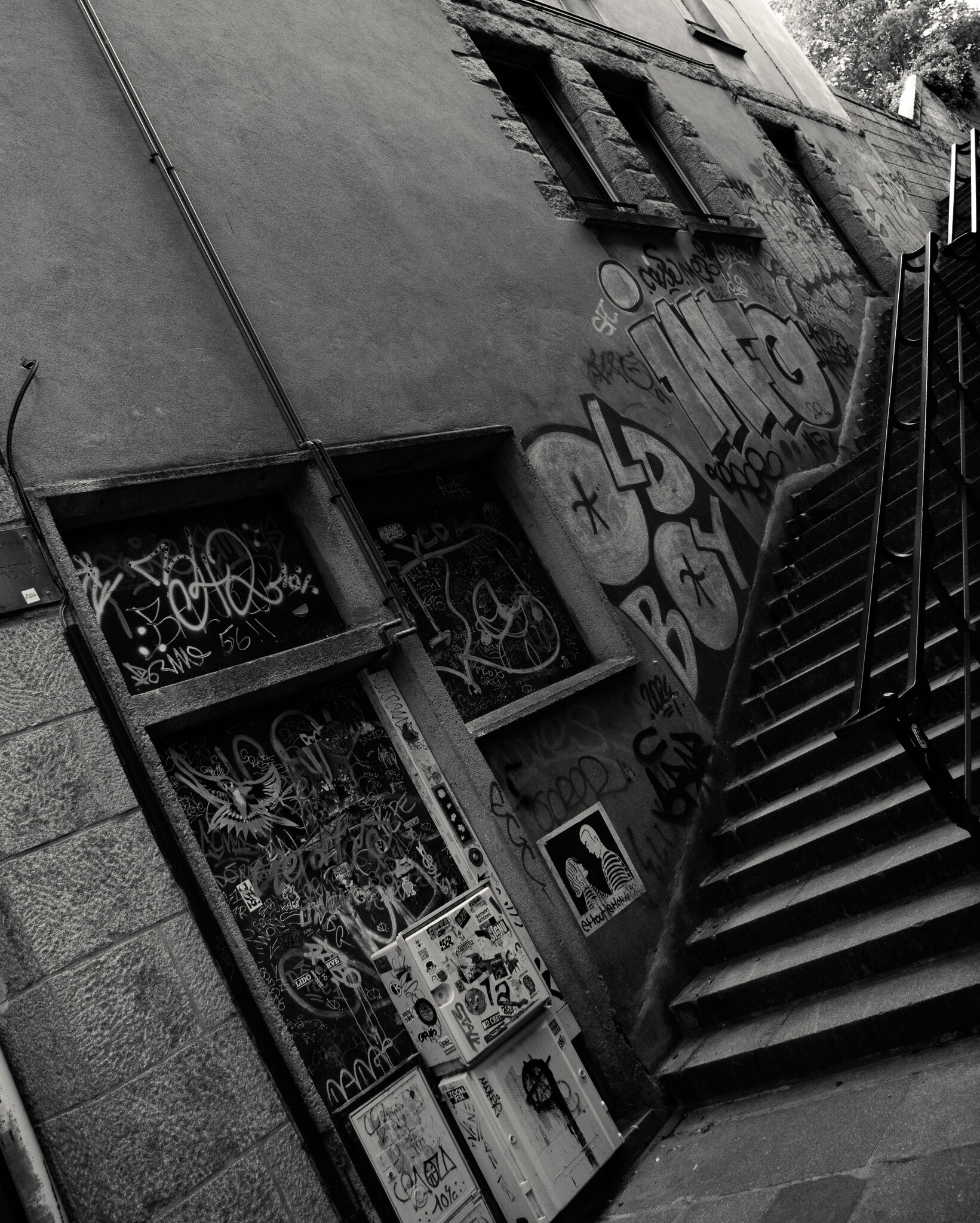
Modern
City
Not every corner of Saint-Malo is postcard-ready. This corner of the inner city has been thoroughly marked up — graffiti and stickers layered over time. In Europe this tends to be treated as free expression rather than the territorial marking Americans often associate with it.
 10
10
Passage
Through
the Arch
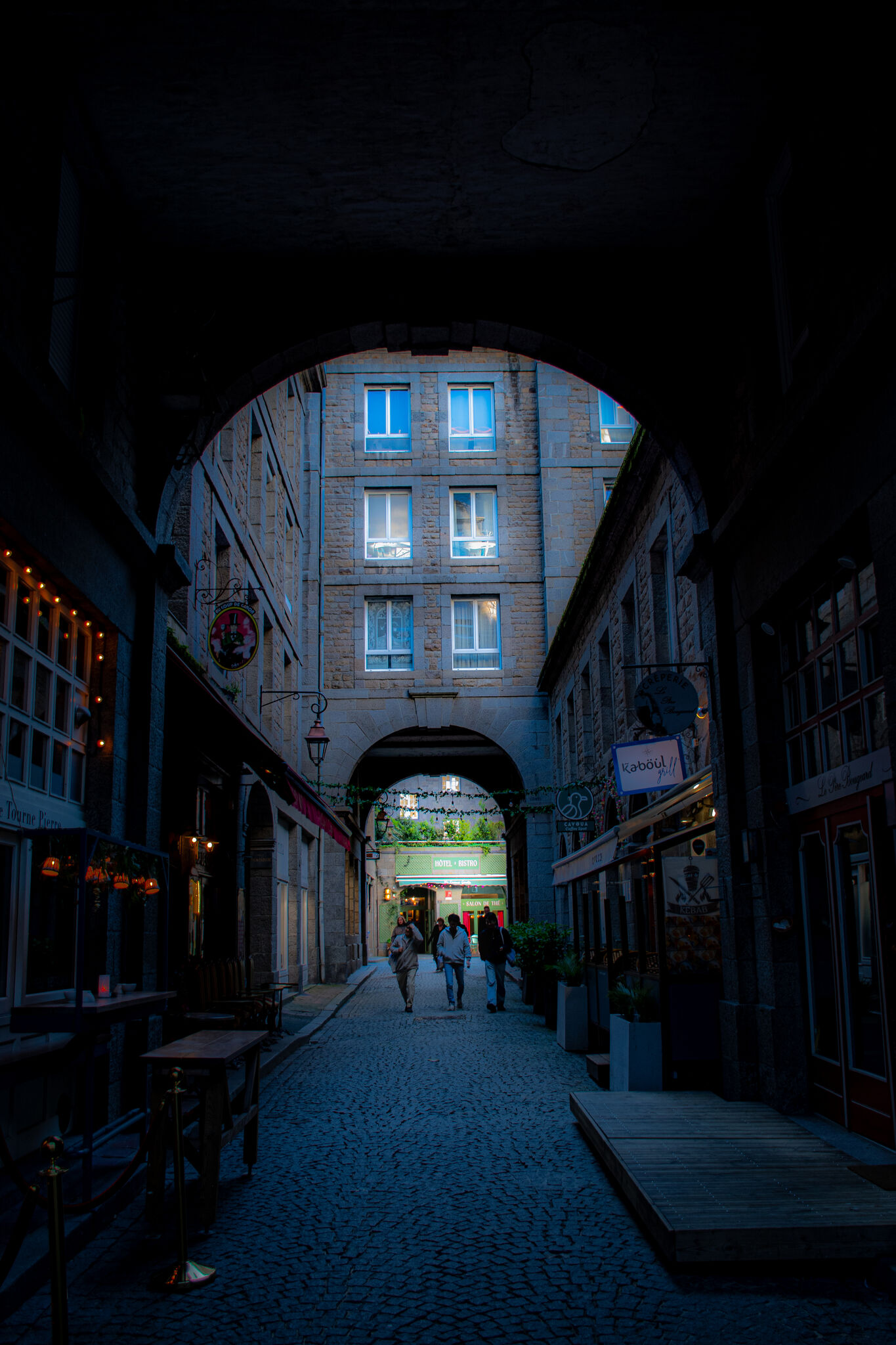
Saint-Malo is a city of thresholds — gates in walls, arches over lanes, passages between one space and another. The street beyond this arch is lit and inhabited; the arch itself is in shadow.
 11
11
The Streets
Stone
and Light
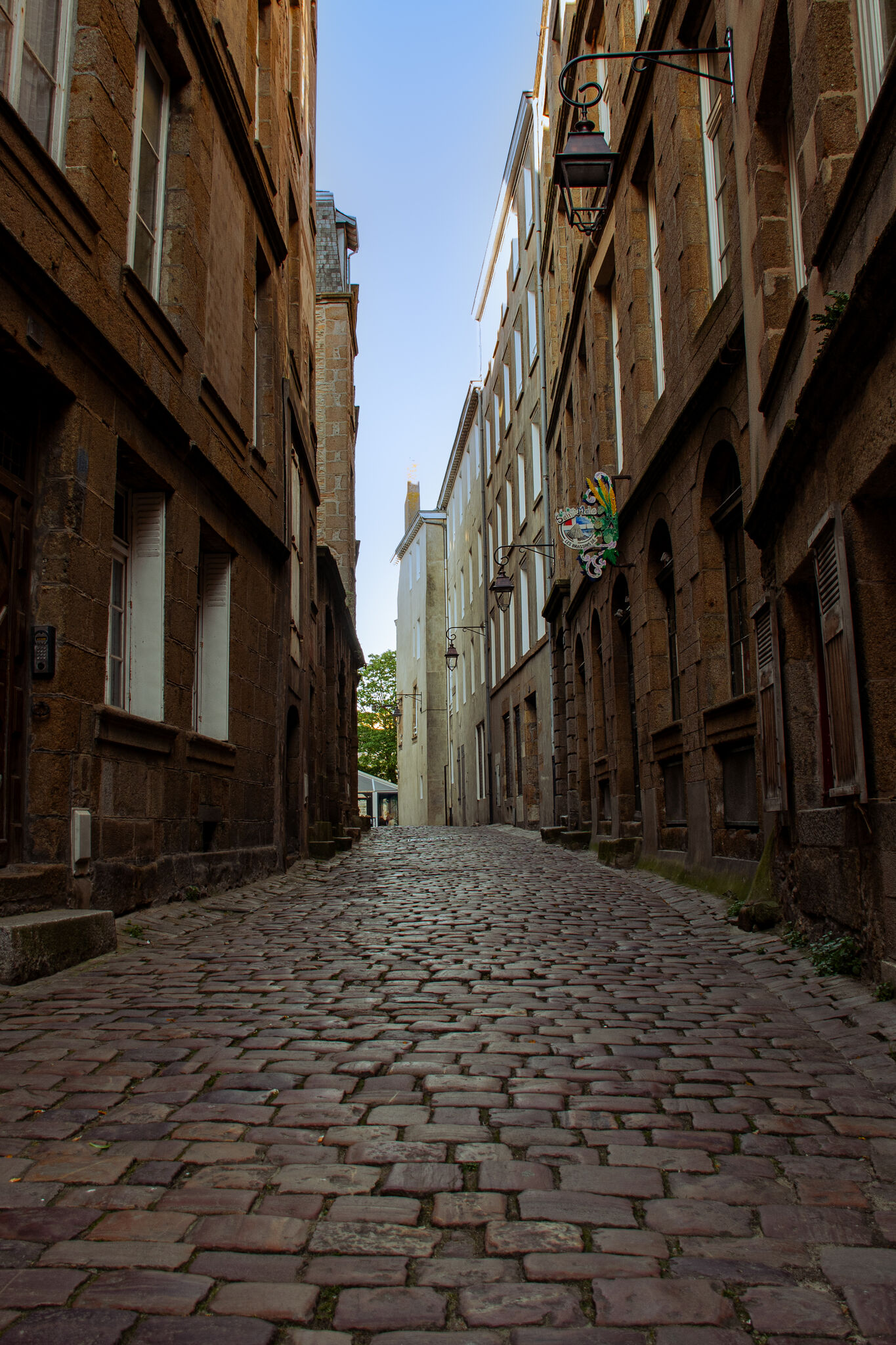
The inner city lanes open occasionally into something a little wider — cobblestones, high facades, the particular quality of Atlantic morning light on pale Breton granite cobblestones. Empty here, which is rare, but a testimony to the early morning quiet before tourists. Saint-Malo in summer is crowded; this moment of stillness was brief and early.
 12
12
The View Back
The
Reflection
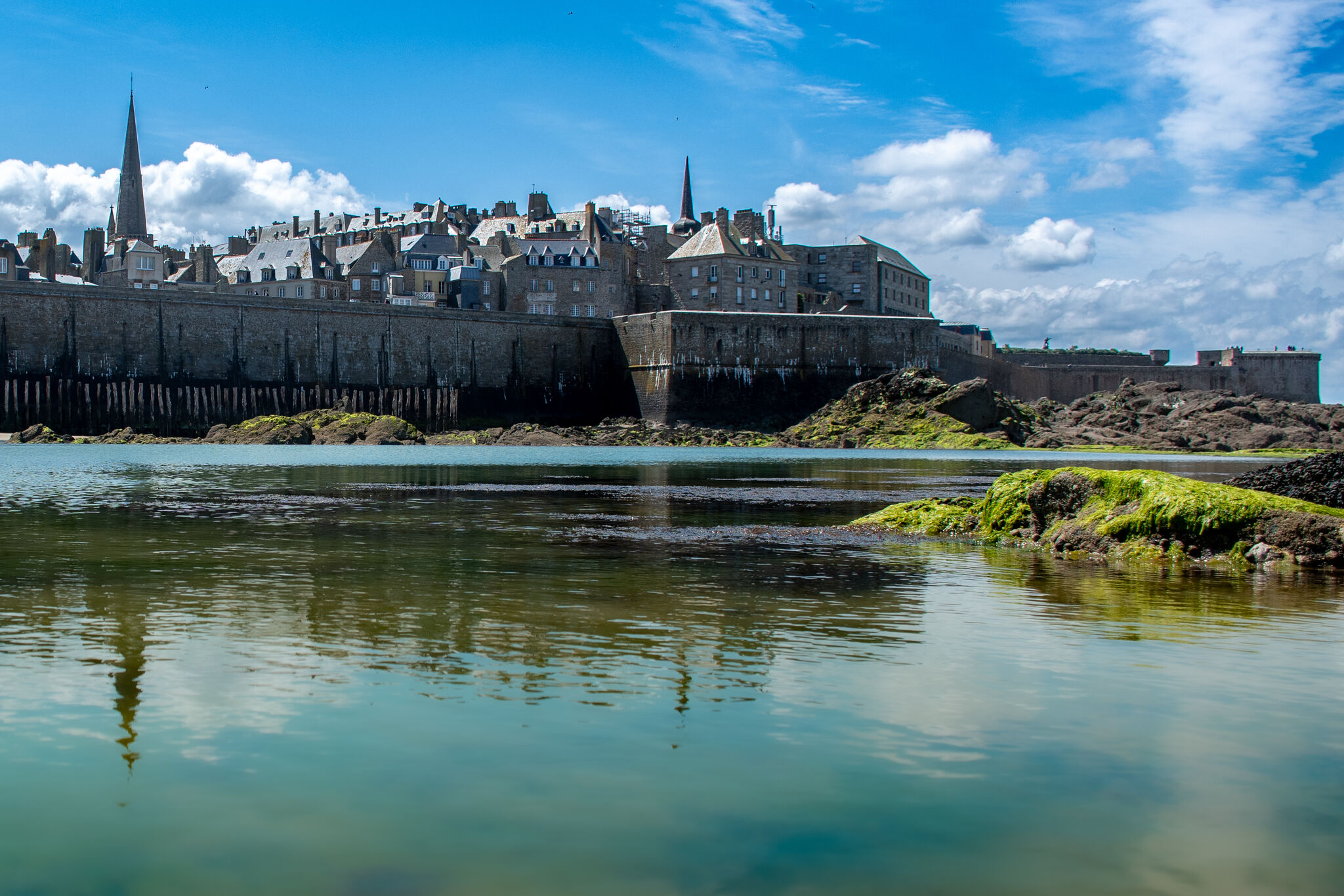
Looking back at the walled city from the tidal flat. You can see the cathedral spires reflected in rippling water at the base of the ramparts. If you look closer, you can make out the city walls reflected where the color changes in the water. This is one of the tidal pools that forms at low tide and lasts for a few hours.
 13
13
Evening
Blue
Hour
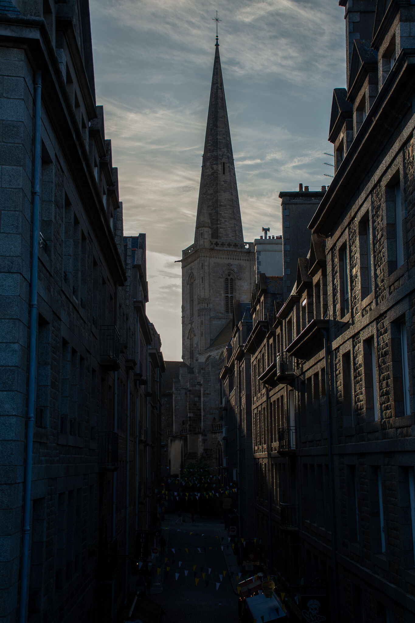
The Cathédrale Saint-Vincent spire in the last of the blue-hour light. The same landmark that appeared above the tidal rocks earlier in the sequence — seen now from inside the city it watches over, the streets quiet beneath it.
 14
14
Last Light Inside
Hôtel
Chateaubriand
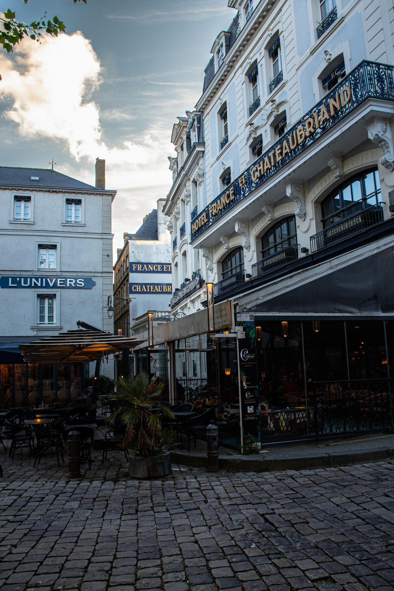
The Hôtel France et Chateaubriand at dusk, just outside the inner city walls. François-René de Chateaubriand was born in Saint-Malo in 1768 and became the founding figure of French Romanticism — think of him as the literary equivalent of Beethoven at the same period. He is buried on Grand Bé, the small tidal island visible from the ramparts. He asked to be buried facing the sea.
 15
Last Light
15
Last Light
Return to the Shore
Fort National
from the Walls
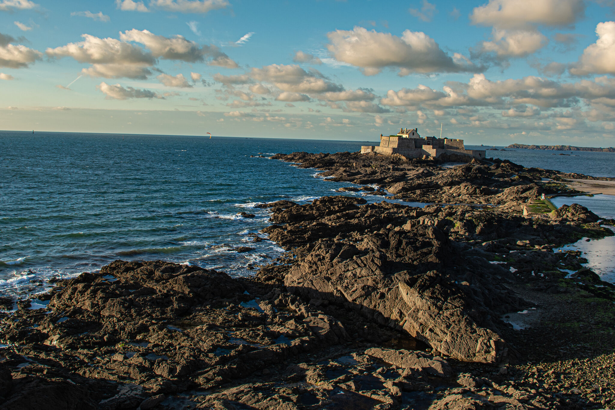
Fort National from the rampart walk in the late afternoon light. The same fortress that opened the sequence, now seen from above, the rocks around it still exposed.
 16
16
Golden Hour
Fort National
at Golden Hour
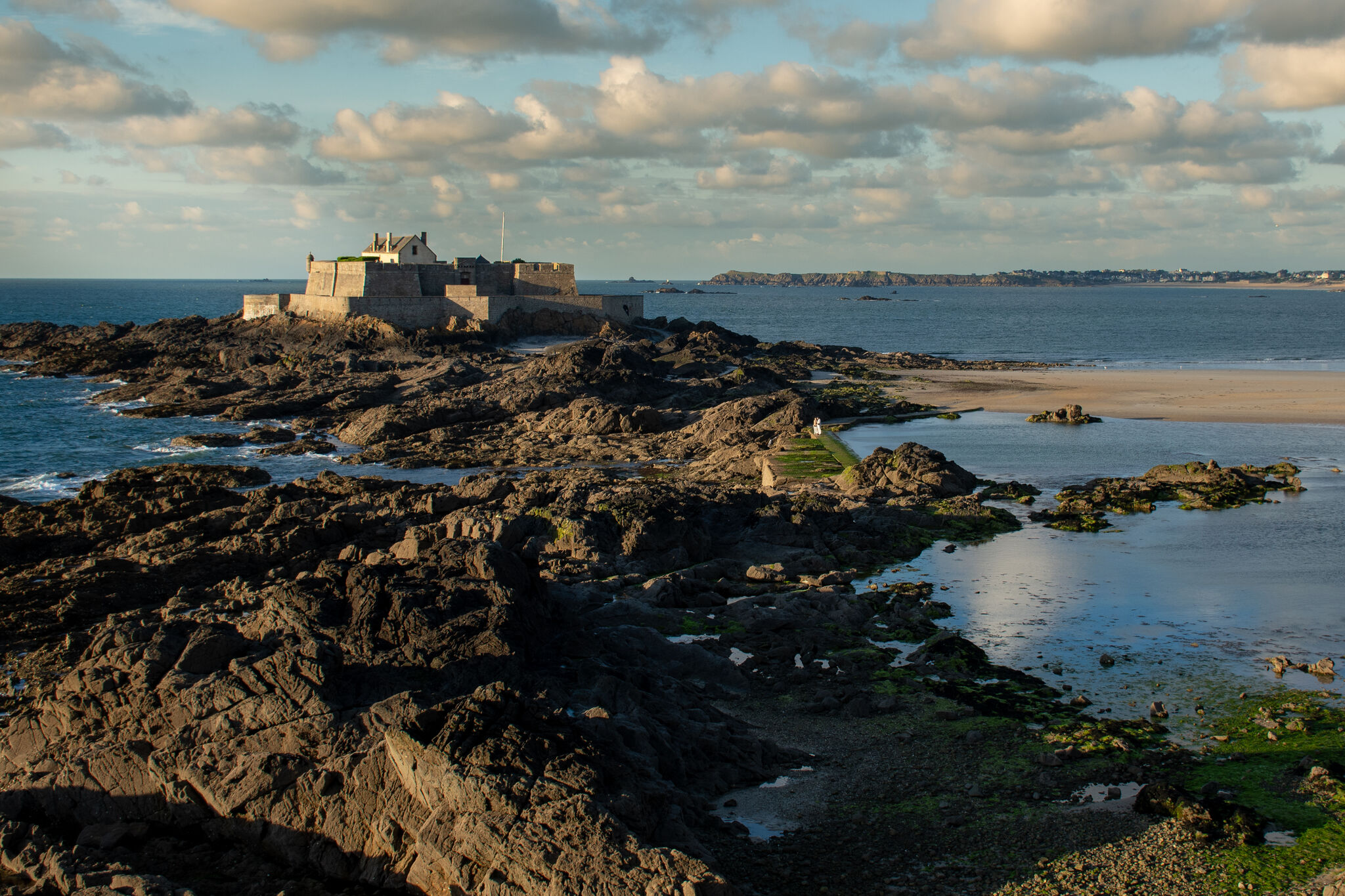
The same fortress in the last warm light of the evening, the tidal flats spread wide and glowing around it. A lone couple on the causeway making their way across before the tide returns.
 17
17
The Close
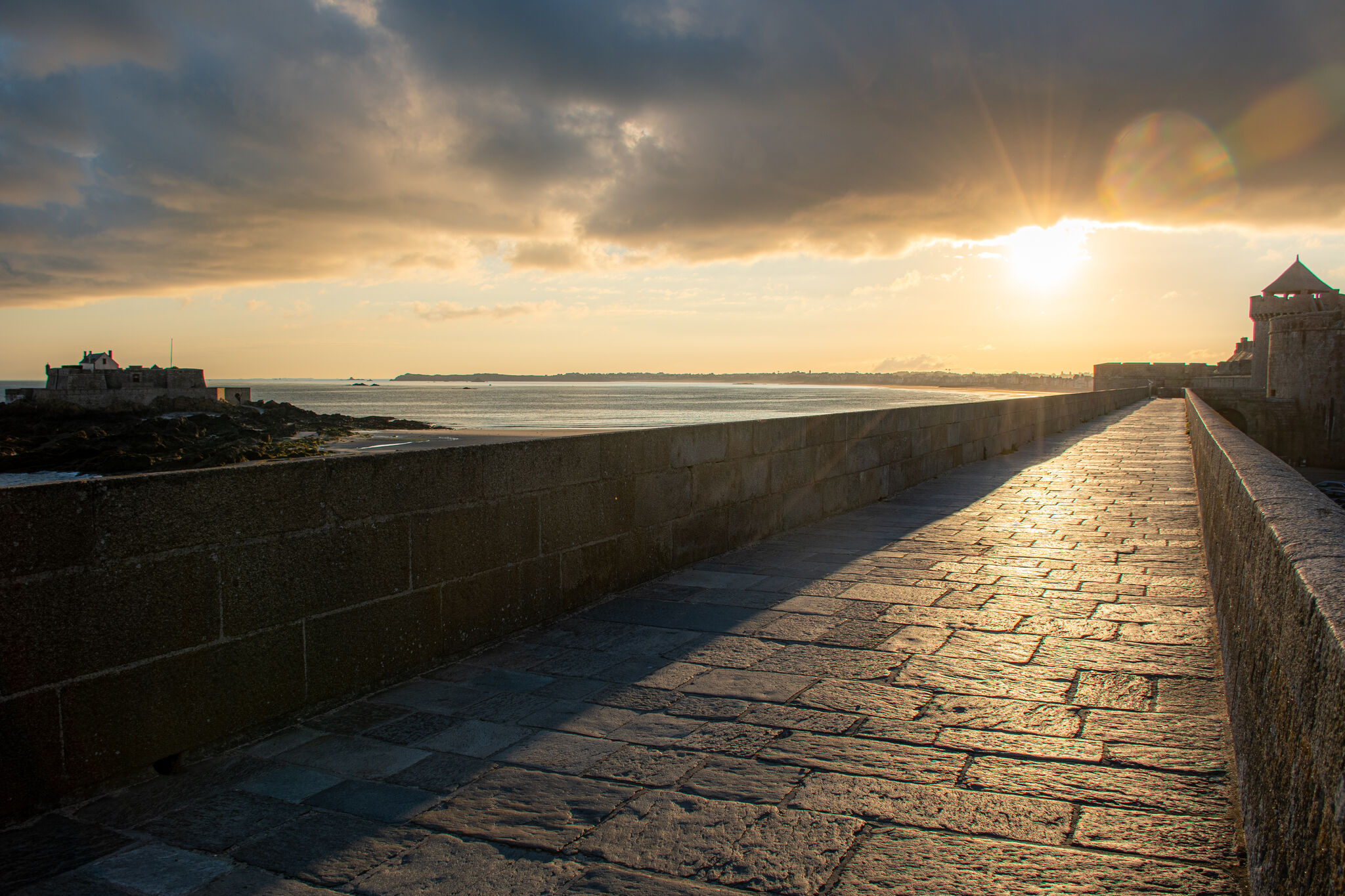
Sunrise
on the Ramparts
The rampart promenade heading southeast into the rising sun, Fort National to the left and the tidal flats lit in the low early light below. I had taken an early morning walk through the inner city and was walking back toward my hotel past the Palais du Grand Large.